12-Day Circumnavigation Glacier Mapping Expedition of Mýrdalsjökull
Embark on a transformative 12-day circumnavigation expedition around the mighty Mýrdalsjökull ice cap! Truly one of Iceland's largest and most dynamic glaciers. As a Citizen Scientist, you'll take part in an extraordinary journey to map the glacier's outlets and contribute to critical research on glacial hydrology. This hands-on, immersive experience is designed for adventurers, nature enthusiasts, and those eager to play a role in scientific discovery. Explore the stunning, rugged terrain of Katla Geopark while engaging in meaningful work that will help further our understanding of glacial systems and track climate change.
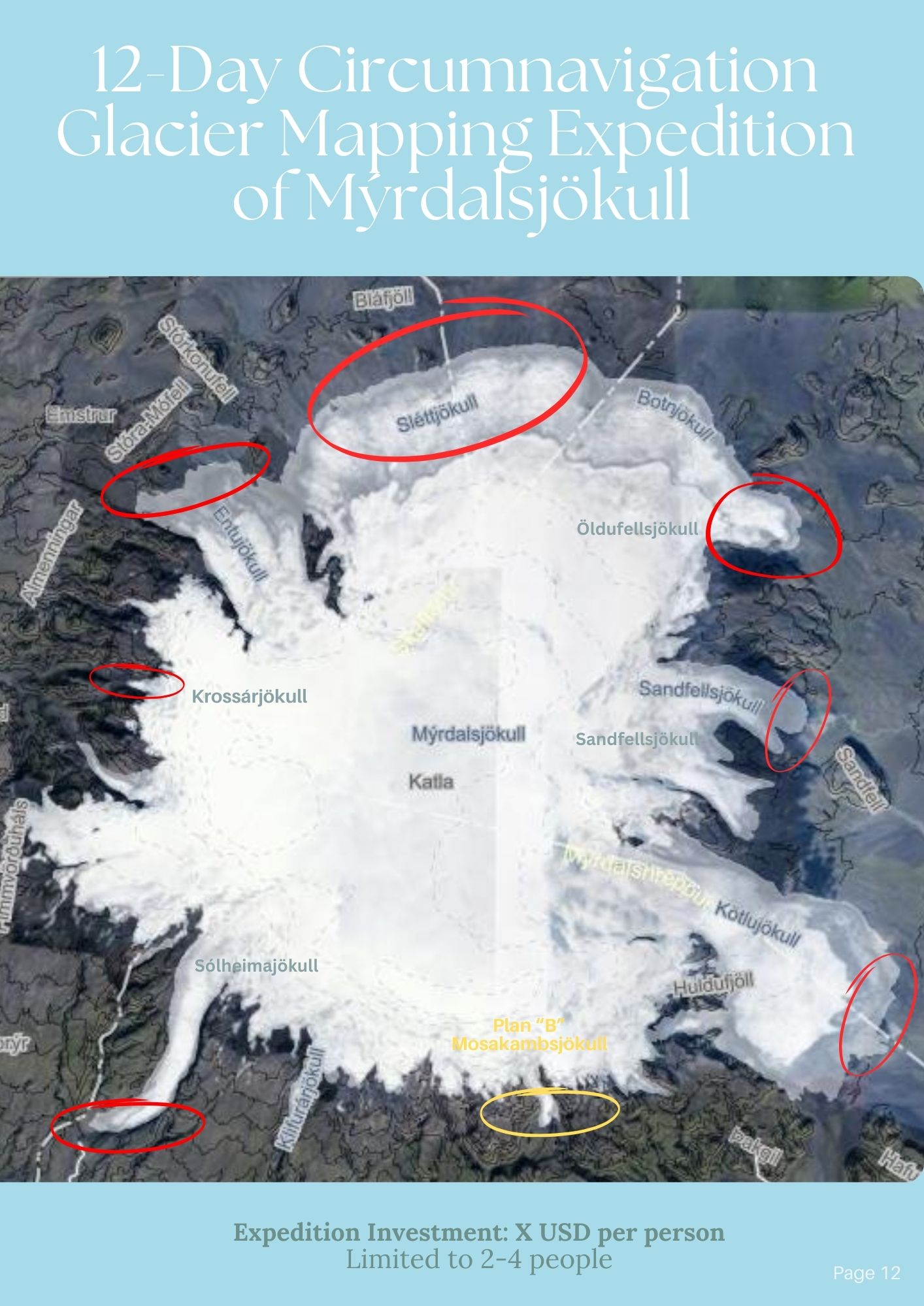
Citizen Scientist Expedition: Mapping the Majestic Mýrdalsjökull Itinerary:
Day 1: Introduction
Our Katla Geopark team will educate you and set you up for a successful expedition by laying the foundation and objectives. Also provide gear introduction and anticipated mapping schedule in a classroom or field setting.
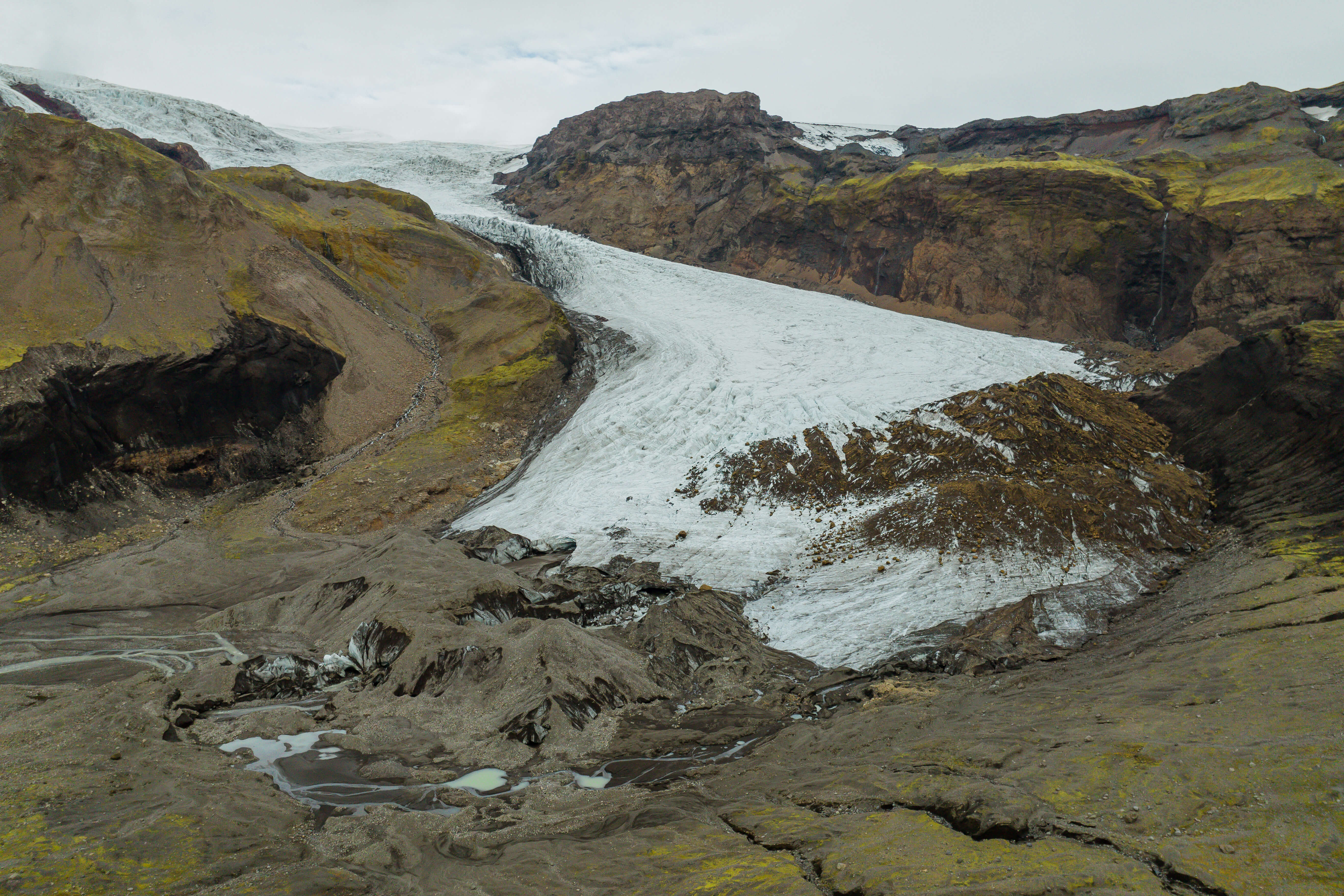
Day 2: Entujökull
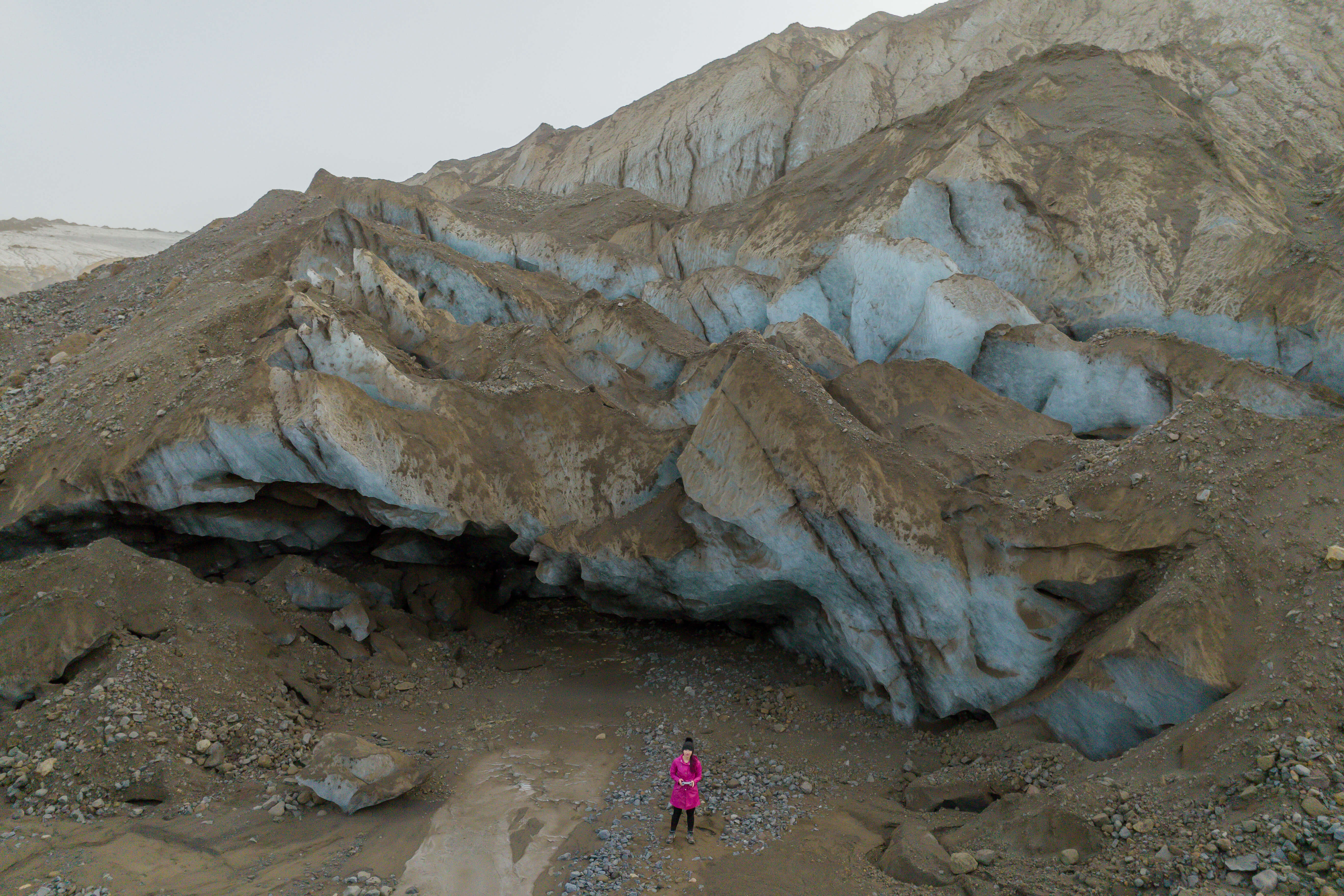
Your journey kicks off with the hard to get to Entujökull outlet (currently unmonitored). Here you’ll hike 2-3 hours (one way) to map this volatile, yet amazing place! You’ll end the night camping at Emstrur Highland Mountain Hut (or alternatively glamping in Thórsmörk or another highland hut). This was an unmonitored glacier outlet until our Katla Geopark team stepped in to track!
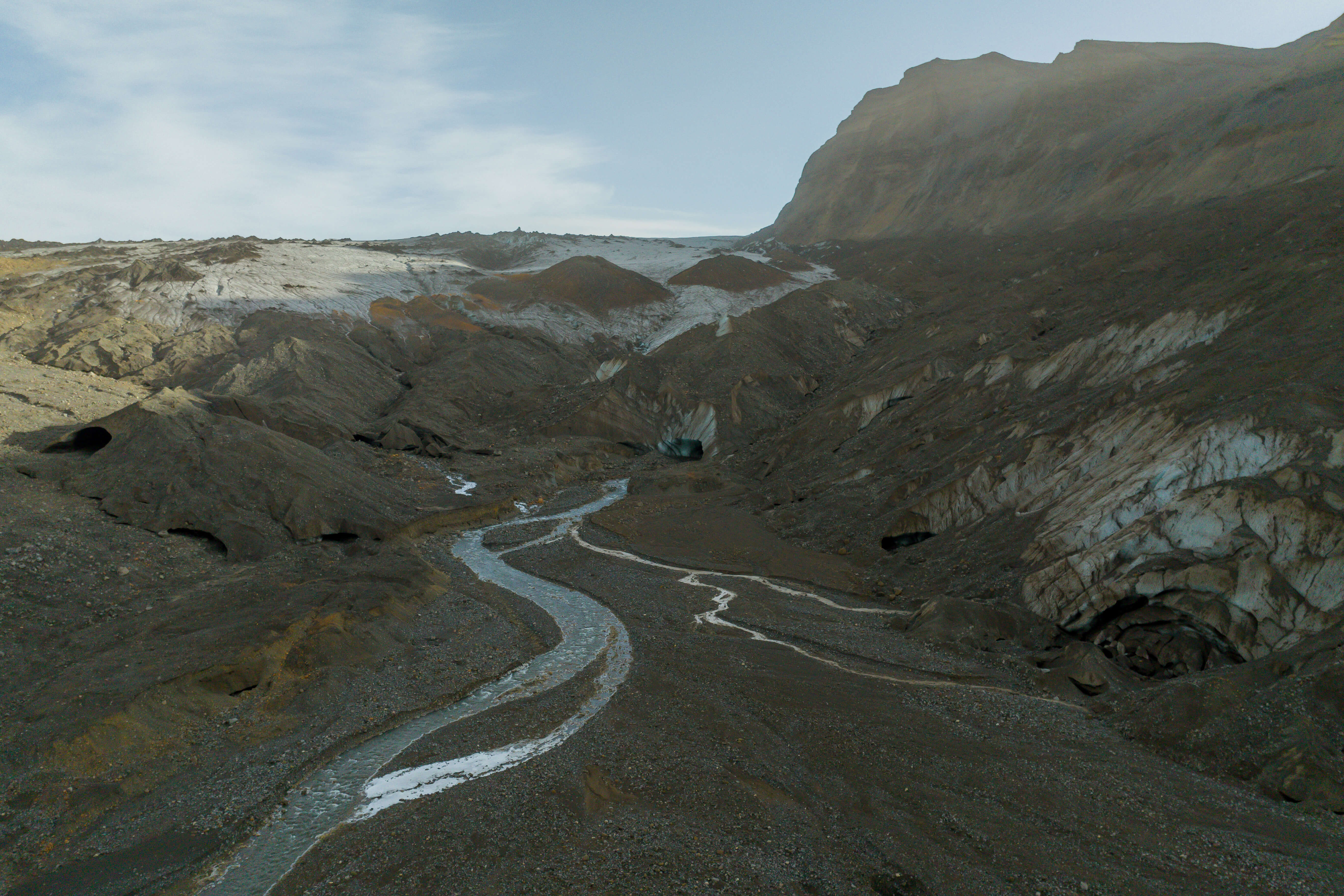
Day 3: Sléttjökull
Today you’ll be embarking on a 2-3 hour hike to map a glacier outlet that is unmonitored and deemed one of the hardest to get to. Revel in the fact that you’re one of the few to witness it's mysterious glory!
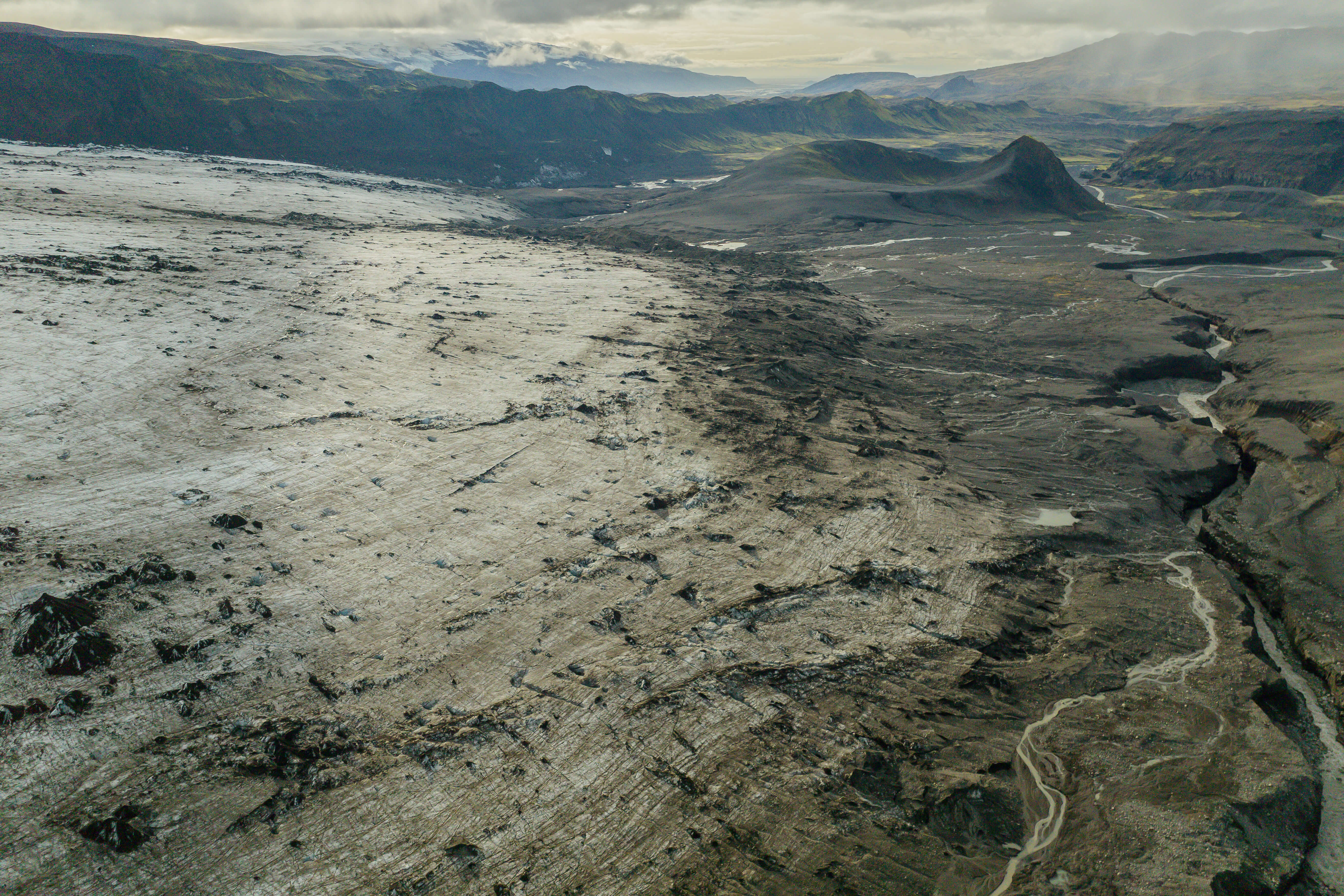
Day 4: Buffer / Data Day
This day could be used as a weather buffer day, data processing, or personal activity day.
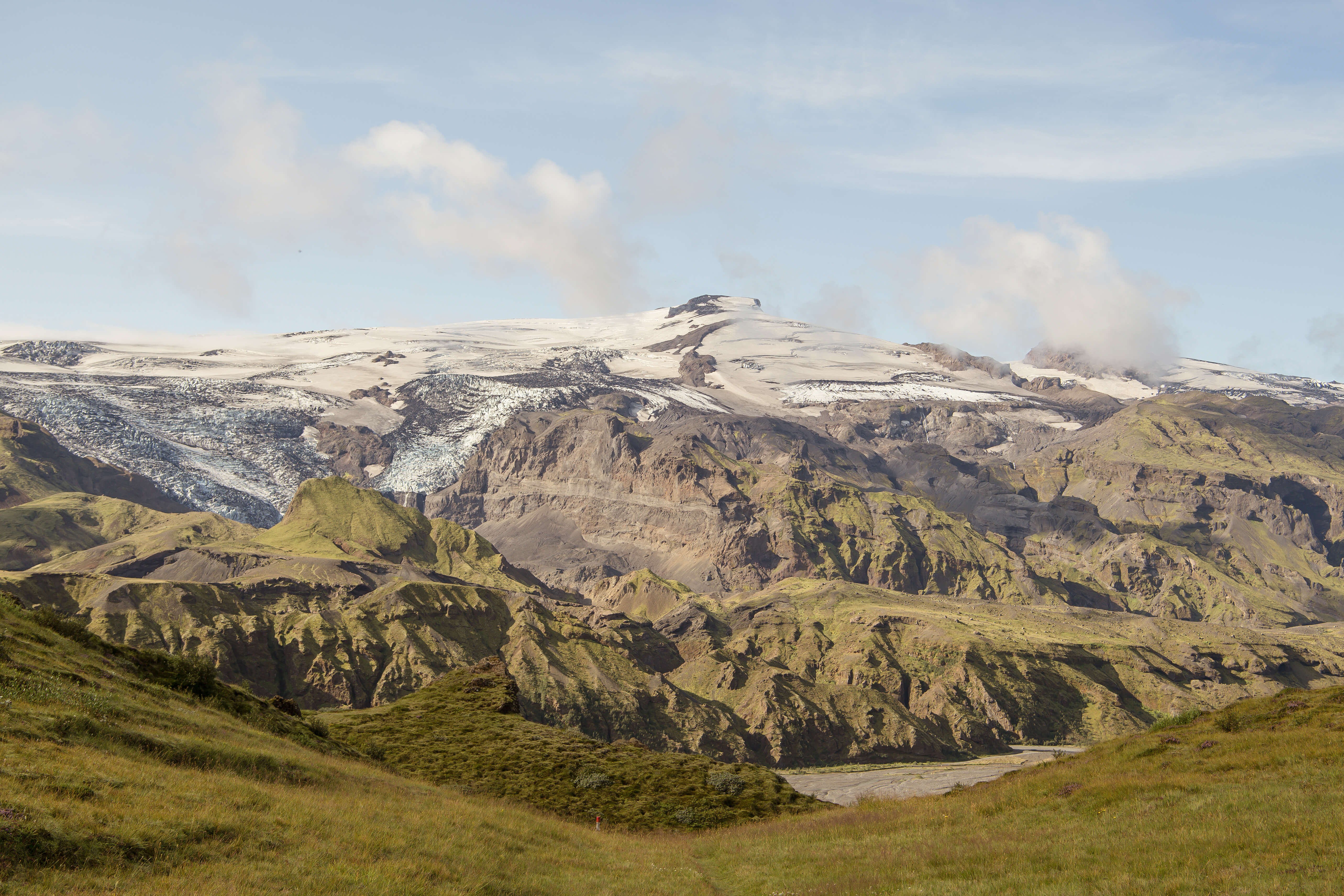
Day 5: Krossárjökull
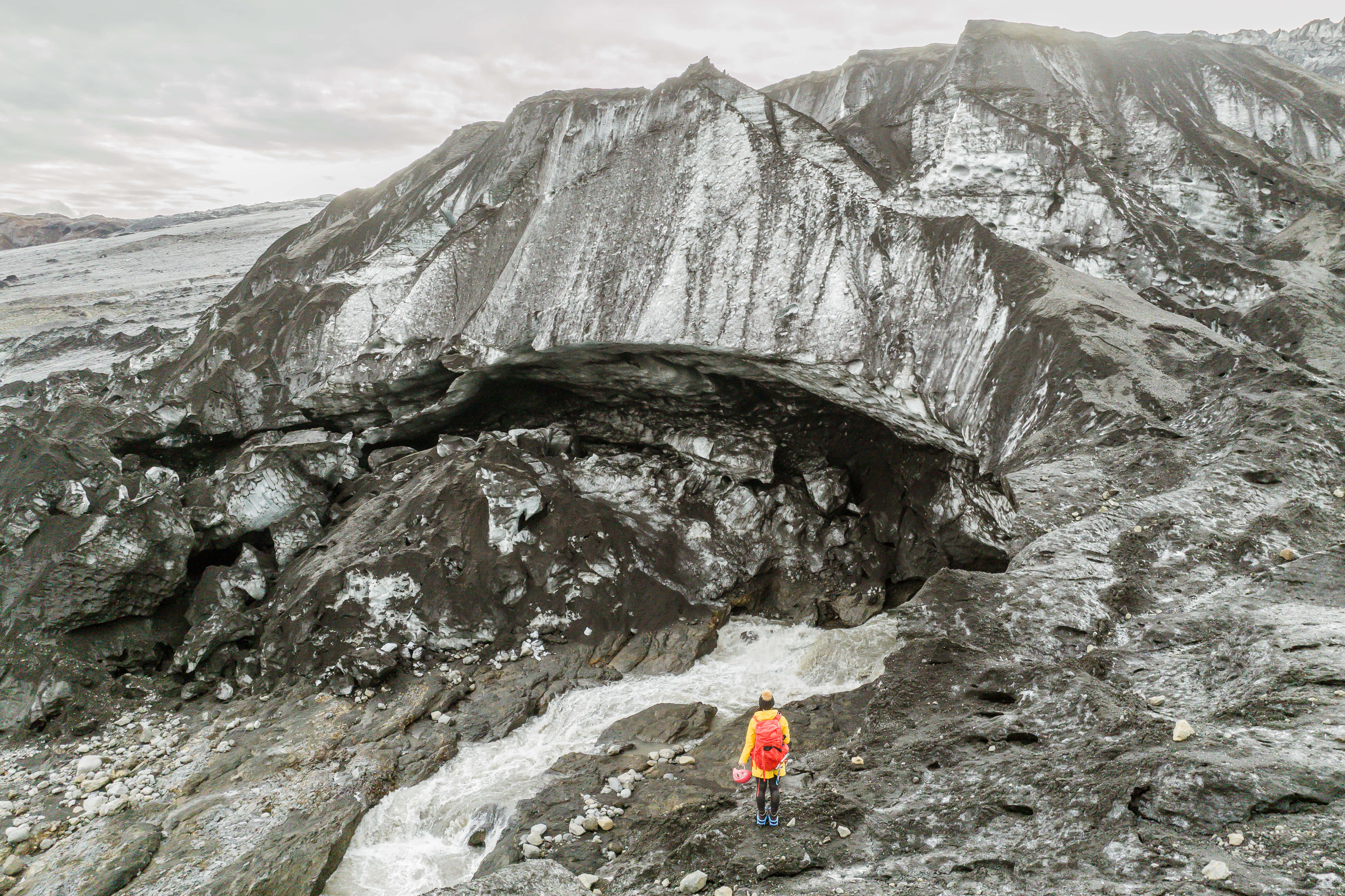
Are you ready to hike through a river to map this extreme glacier outlet within Thórsmörk?
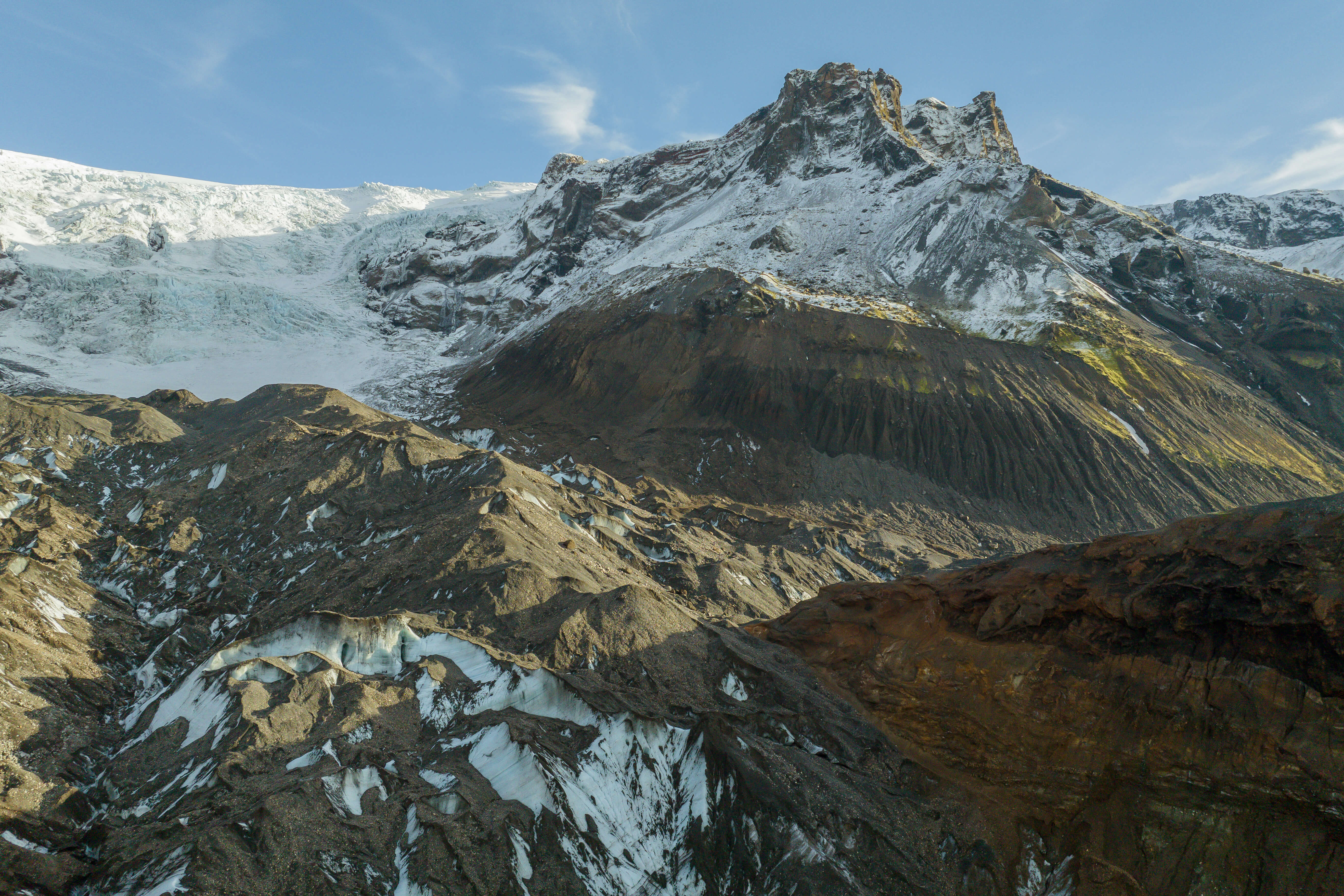
Day 6: Sólheimajökull
Many ongoing projects already monitor this glacier outlet. Therefore we are going to learn how water flows in the glacier by releasing eco-friendly dye into a crevasse to watch!
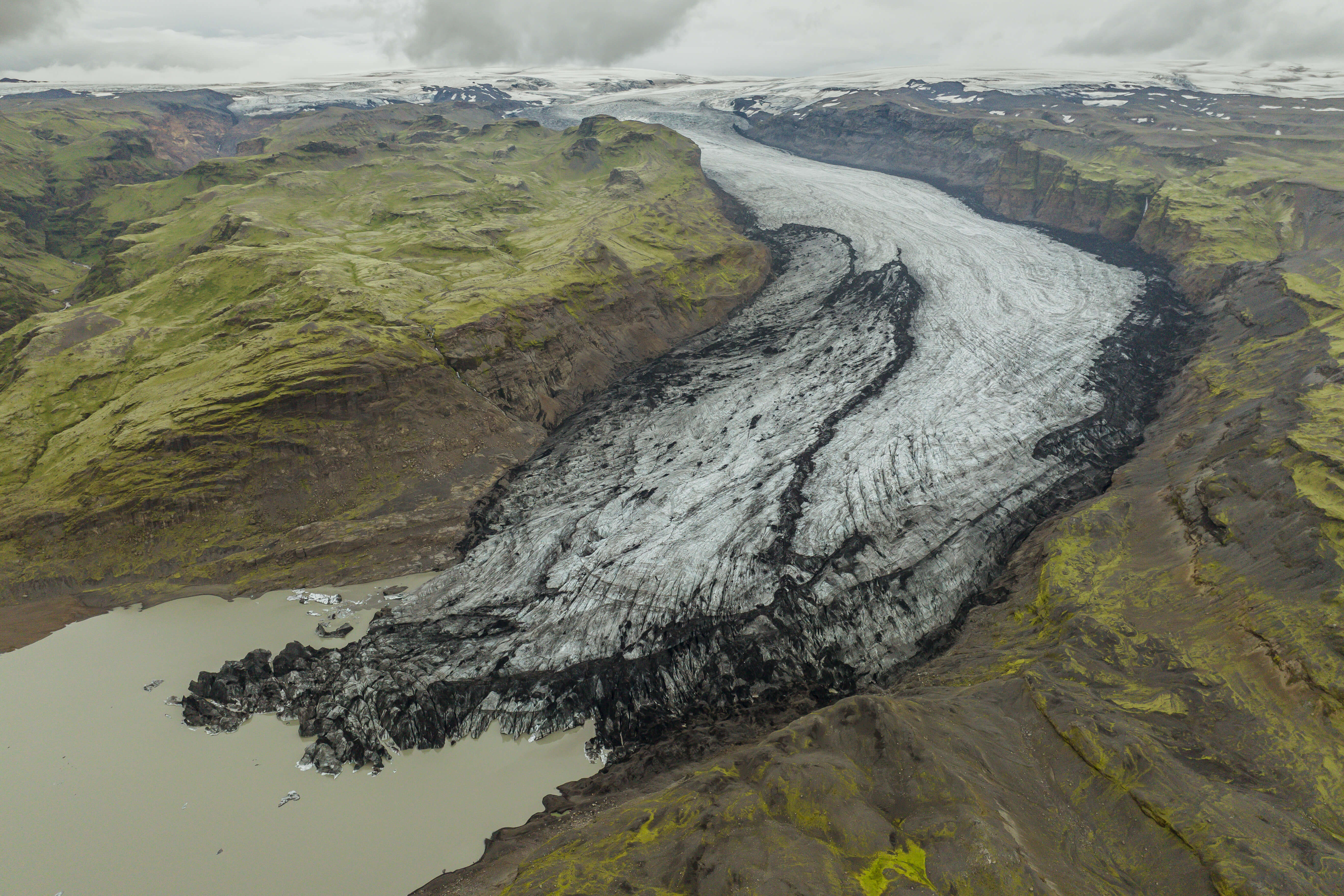
Day 7: Buffer / Data Day
Icelandic weather rules, so here is another buffer day just in case! But don't worry we will keep you inspired and busy!
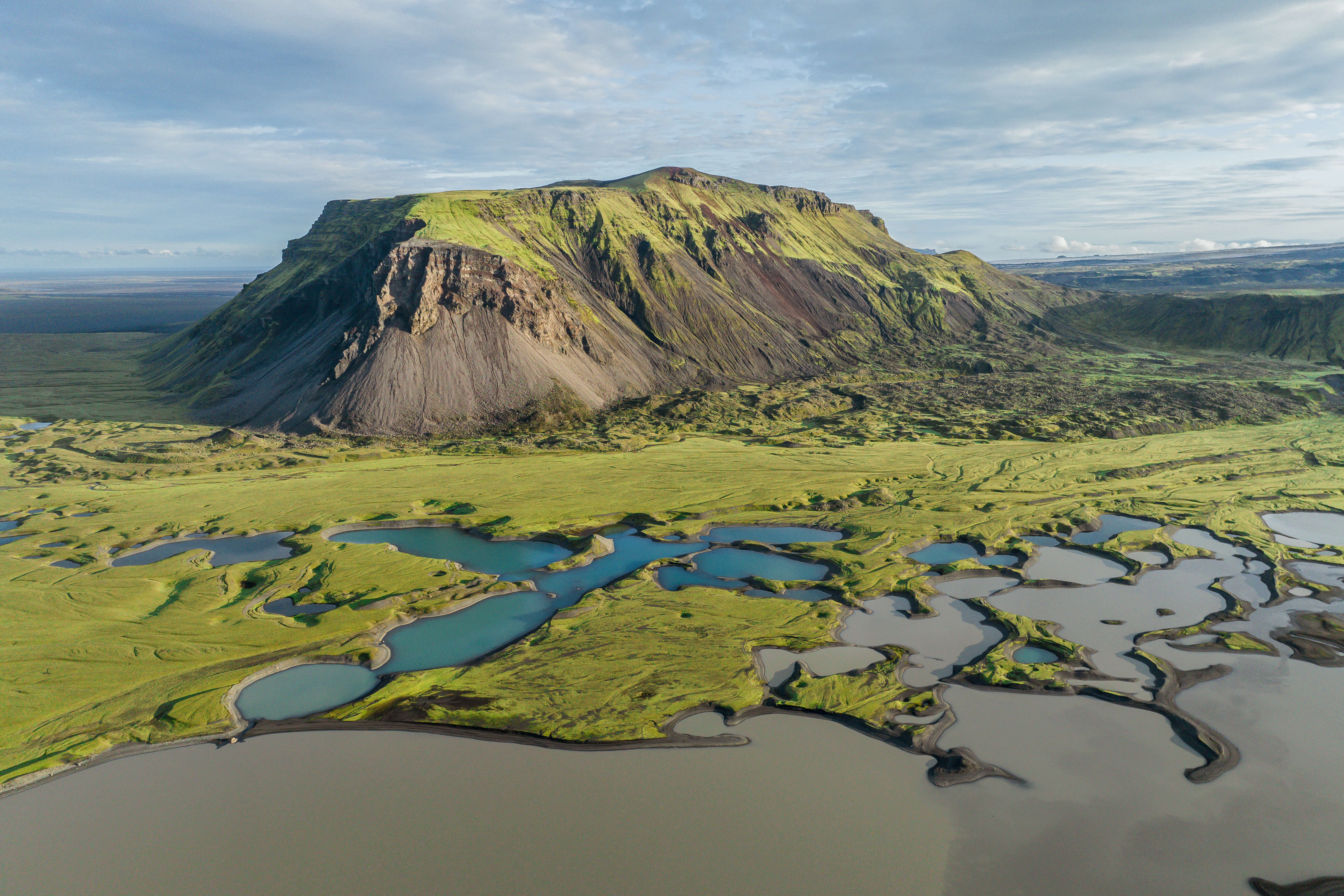
Day 8: Sandfellsjökull
Head up into an iconic area of the Icelandic Highlands to a spot that is tucked away and far from any tourists! This offbeat glacier outlet will blow your mind in how mineral rich and vivid it is. Here, you'll embark on a 1-1.5 hour hike to reach the edge of the glacier and cultivate important data that is needed especially after 3 glacier outburst floods that happened in 2024!
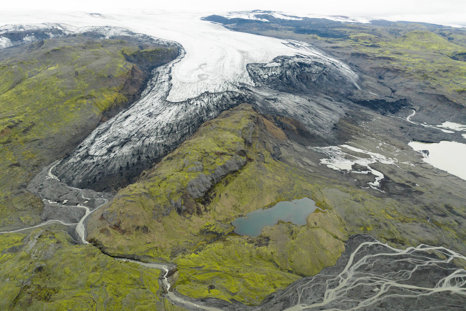
Day 9: Öldufellsjökull
Very few have stepped foot on this highland glacier outlet. And trust us, the 2 hour hike is worth every bit of the views! Here, you'll map and track the life cycle of Öldufellsjökull Glacier outlet which historically has only gotten a one point measurement each year.
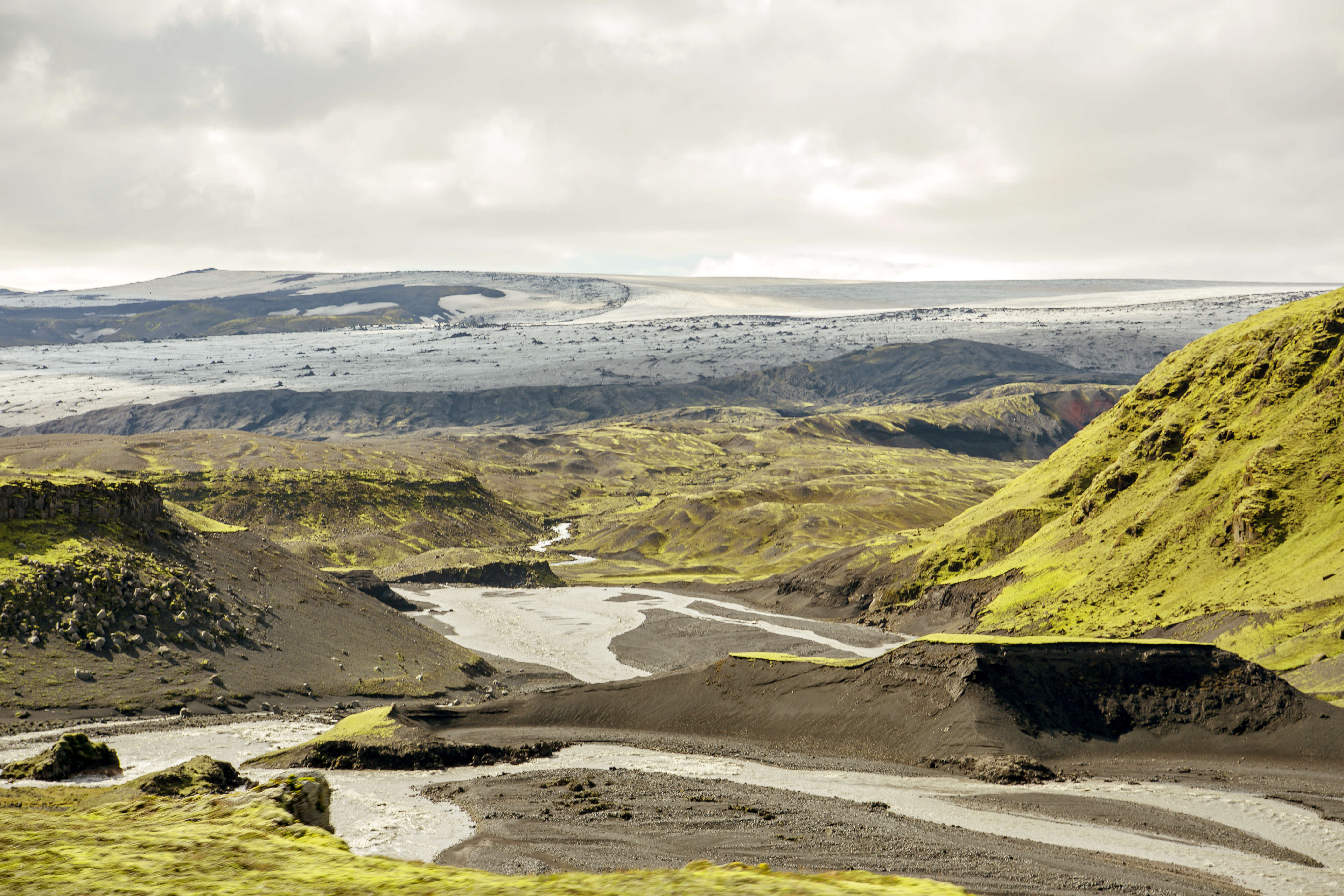
Day 10: Buffer / Data Day
After all of these unforgettable glacier mapping days, you might need a day to decompress. Therefore, let's learn how to process all that incredible data you've collected! ...and if that doesn't sound like fun, choose your own adventure today!
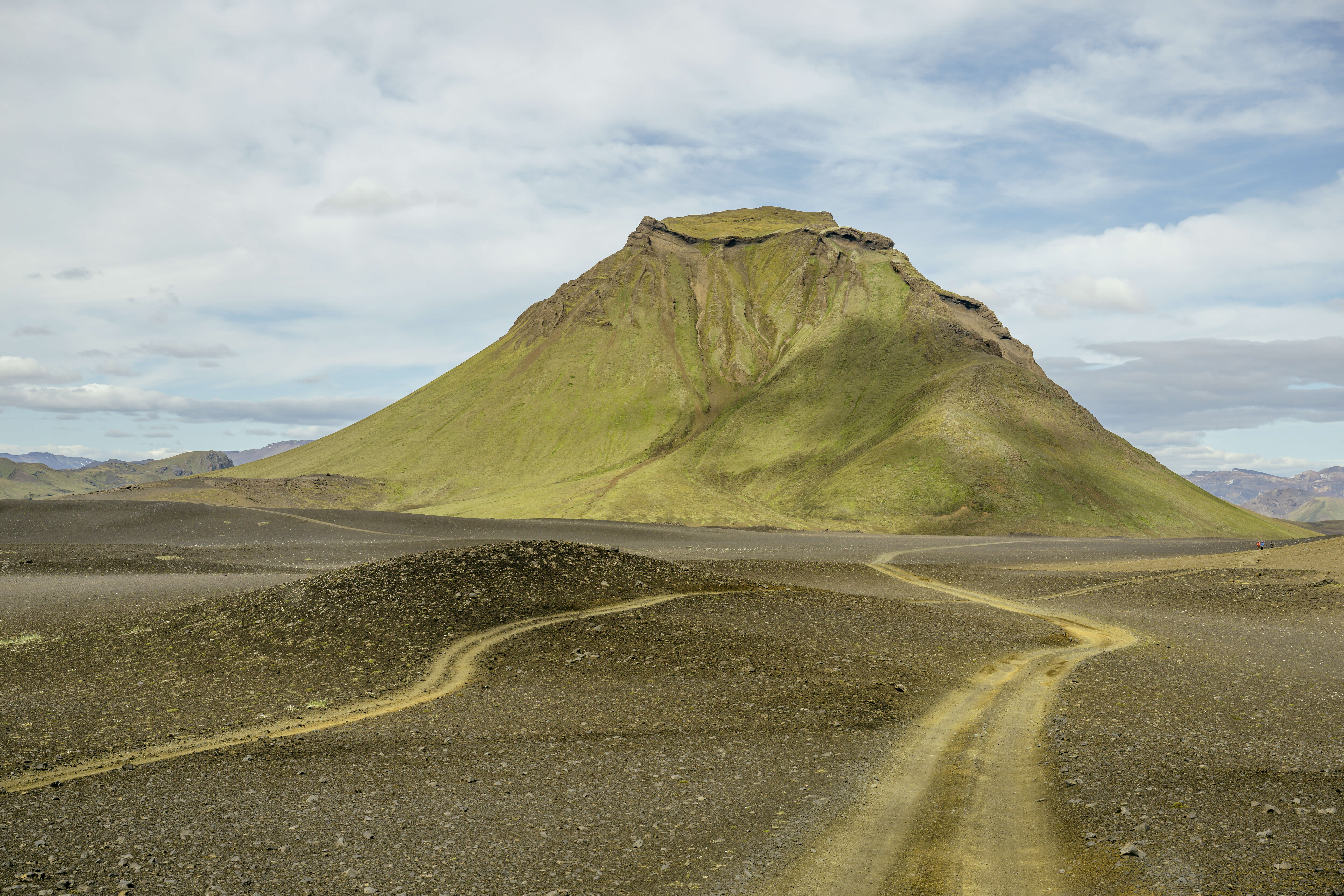
Day 11: Kötlujökull
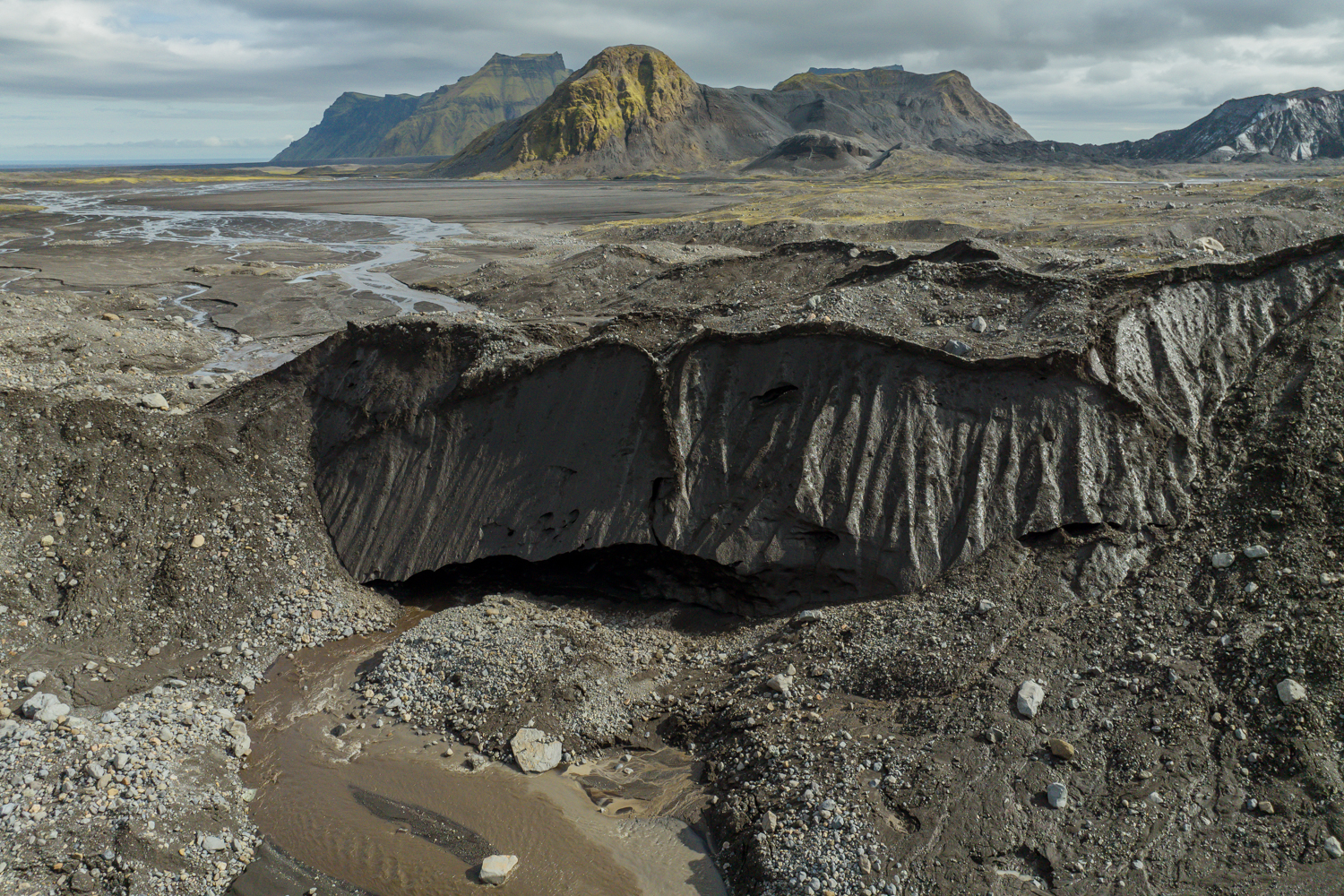
Katla Glacier has been an outlet where year round ice caves have thrived. Learn why and hike along her dynamic edges to make history by mapping her life cycle!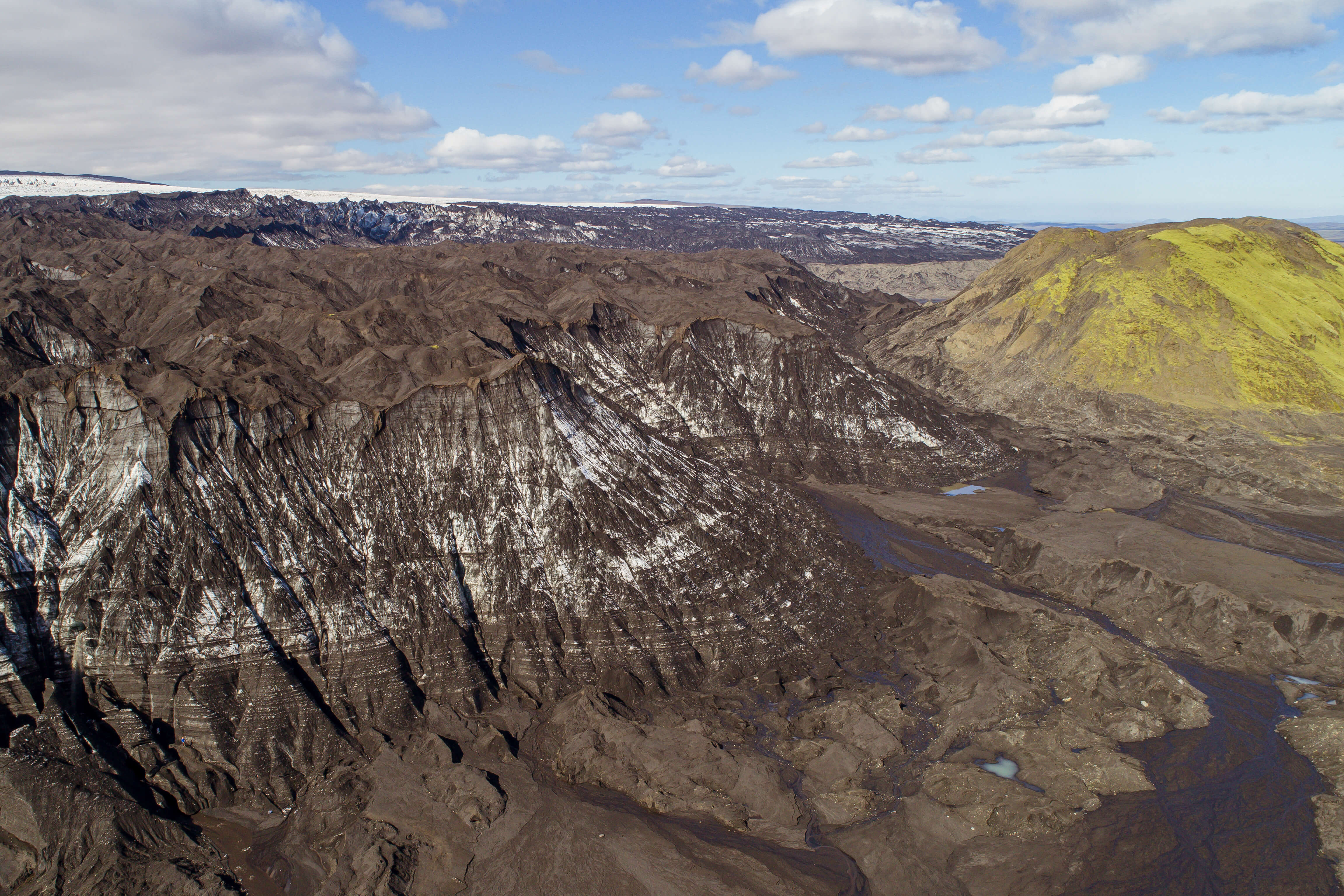
Day 12: Data / Debrief
Alas, our mapping mission of Mýrdalsjökull must conclude... But bravo for completing which an adventurous impactful journey! The future world already thanks you!!
12-Day Glacier Mapping Expedition - What’s Included:
- Accommodation: 9-Night Stay at 3-star Hotels (with private bathrooms)
- 2-Nights in Icelandic Mountain Hut, Glamping or Camping Accommodation (to maximize adventure time) which has shared facilities and little to no amenities.
- Professional Licensed Driver-Guide
- Geo-Scientist Led Expedition
- Educational Background Brief
- 4x4 Rides up to the Glacier Outlets
- Meals included (breakfast, lunch, and dinner)
- All necessary Scientific and Glacier Safety Equipment
- Round-trip transportation from Accommodation each day
- Lunches with views!
- Citizen Scientist Certificate from Katla Geopark
- Processed Results Emailed
- Name Published in a Geopark Report
- Ongoing Data Updates via Email
What to Bring:
- Warm, layered clothing suitable for glacial conditions
- Waterproof Outerwear
- Sturdy Waterproof Boots
- A sense of curiosity and adventure
- Backpack
- Snacks
12-Day Mýrdalsjökull Mapping Expedition Special Notes:
Expedition Duration: 12 Days, 11 Nights, and ~8-12 hours day adventures
Difficulty Level: Moderate to Challenging (most suitable for physically fit participants with a sense of extreme adventure)
Age Requirement: From 18 years old (exceptions may be possible depending on individual)
Availability: Mid-July to Mid-September (possibility outside of this frame by request)
Group Size: Limited to 1-4 people (exceptions may be possible depending on group dynamic)
Expedition Investment: Please Contact Us for More Information!
Disclaimer:
Due to the Scientific nature of this tour, group sizes are limited to ensure each participant receives personalized guidance and training. Katla Geopark reserves the right to make changes to the plan based on weather and safety dynamics (IE, Switching days or different glacier edge mapping, etc).
Join us!
This hands-on, immersive 12-day once in a lifetime experience is designed for hiking adventurers, nature enthusiast, and those eager to play a role in scientific discovery. Engage in this meaningful work with us!
Contact Us to find out more information!
Celebrating Earth Heritage
How to visit the Katla Geopark
Katla UNESCO Global Geopark is in central South Iceland